Latest housing plans show developers targeting sites and landowners happy to sell throughout Longdendale, but they show no interest in brown field sites. Mottram village may double in size
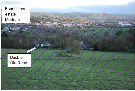
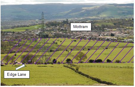
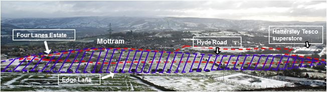
The specific locations are coloured in purple, on a website map we have only just discovered, following our monitoring of these issues. Mottram’s Edge Lane housing plan (hatch lines in purple on photo below) is massive, even more extensive than the Council’s Mottram M67 Preferred Plan (outlined in red below) for industrial and other development. The “purple patch” of land is around a third bigger, in the area North of Hyde Road, extending right up to Edge Lane. Along with housing plans for the green belt over Roe Cross, overall this would make Mottram village double its housing
We are not against development. We favour appropriate development! However, all these developments are bad news because
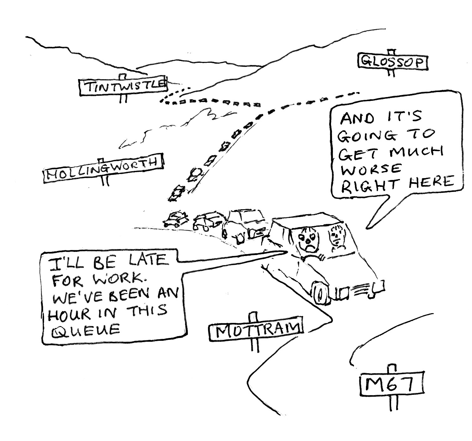
- They will add to the traffic chaos of the 36,000 vehicles passing through daily, and the pollution it brings. The new bypass could get grid-locked at its M67 intersection on the above map.
- There are already flooding problems to Hyde Road residents as it is. Further housing on that land is likely to aggravate the problem. This area drains into Broadbottom, bringing flood risk there.
Other locations include Roe Cross…. Thorncliffe Vale (Hollingworth) …. Matley ….and other sites. This is even though a TMBC survey identifies enough brown field sites to supply Tameside’s housing needs for 10 years
For a link to the map of the Greater Manchester Spatial Framework Development Sites visit http://mappinggm.org.uk/call-for-sites/development-sites.htm.
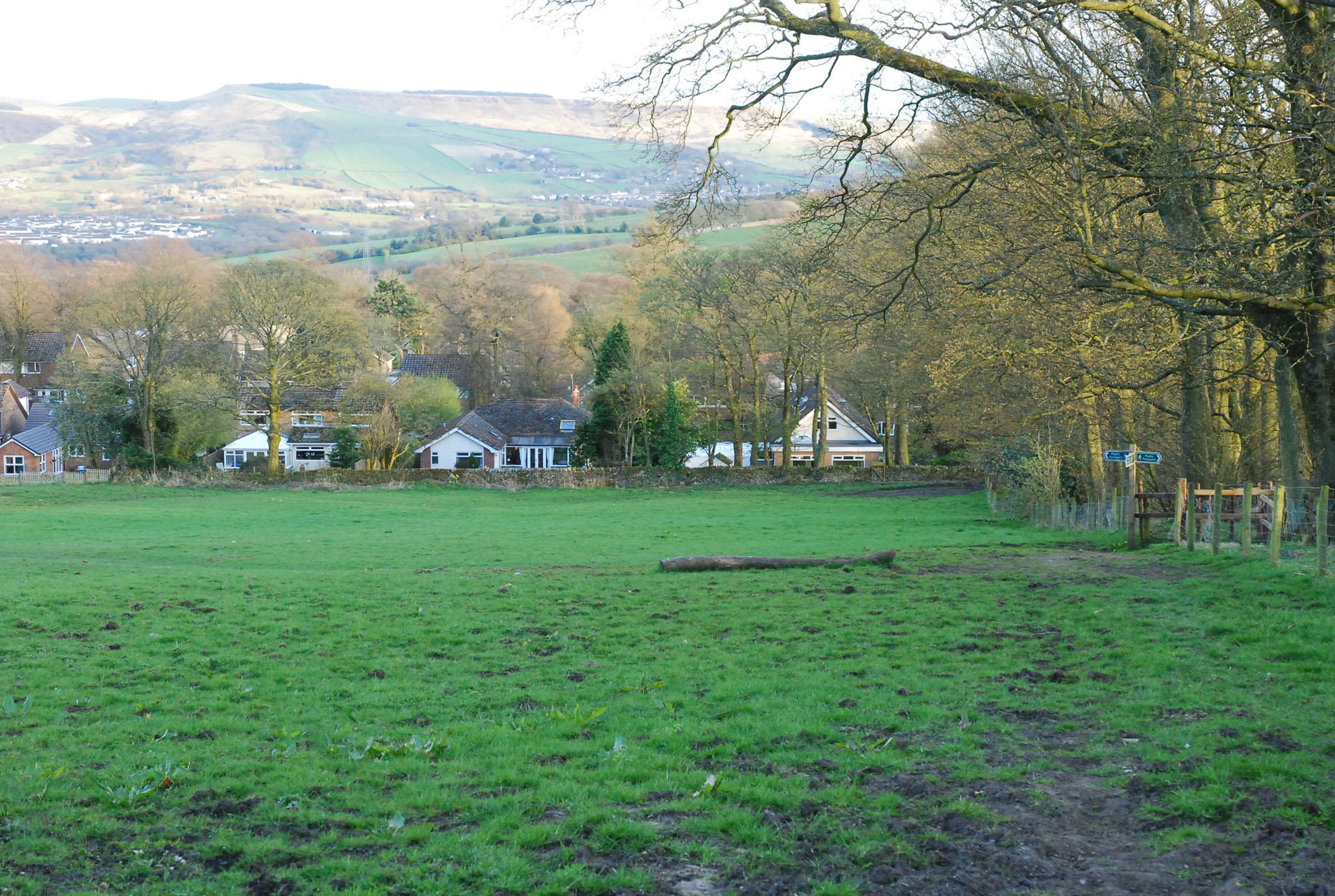
Greenbelt and fields under threat for housing development:
Hollingworth— field behind Organ pub
Hollingworth— Thorncliffe Vale
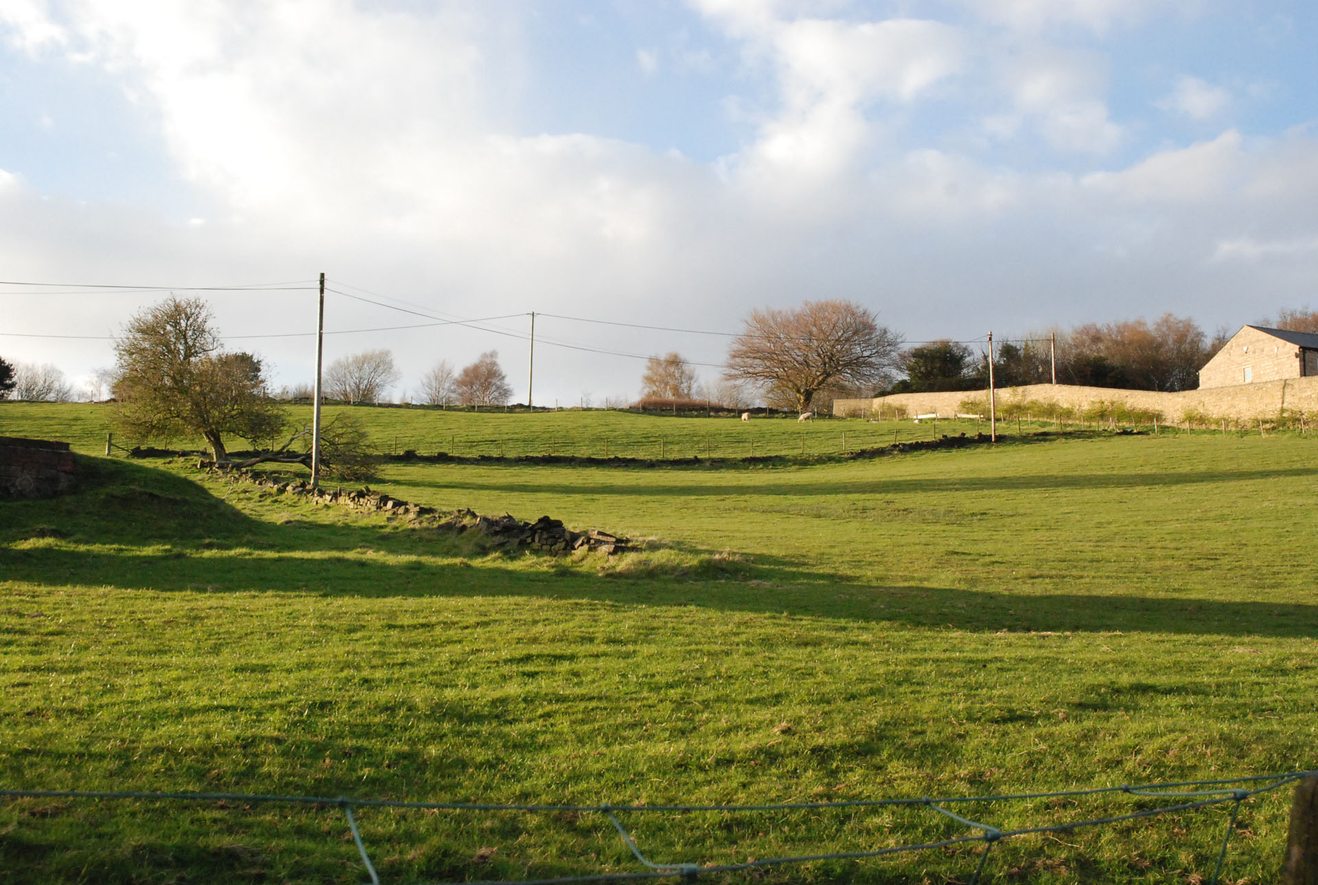
Mottram— between Roe Cross + Dewsnap Lane
Mottram— between Tollemache estate (back of Hall Drive) + Rabbit Lane
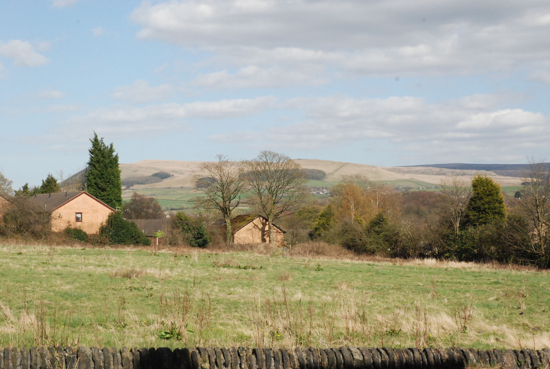
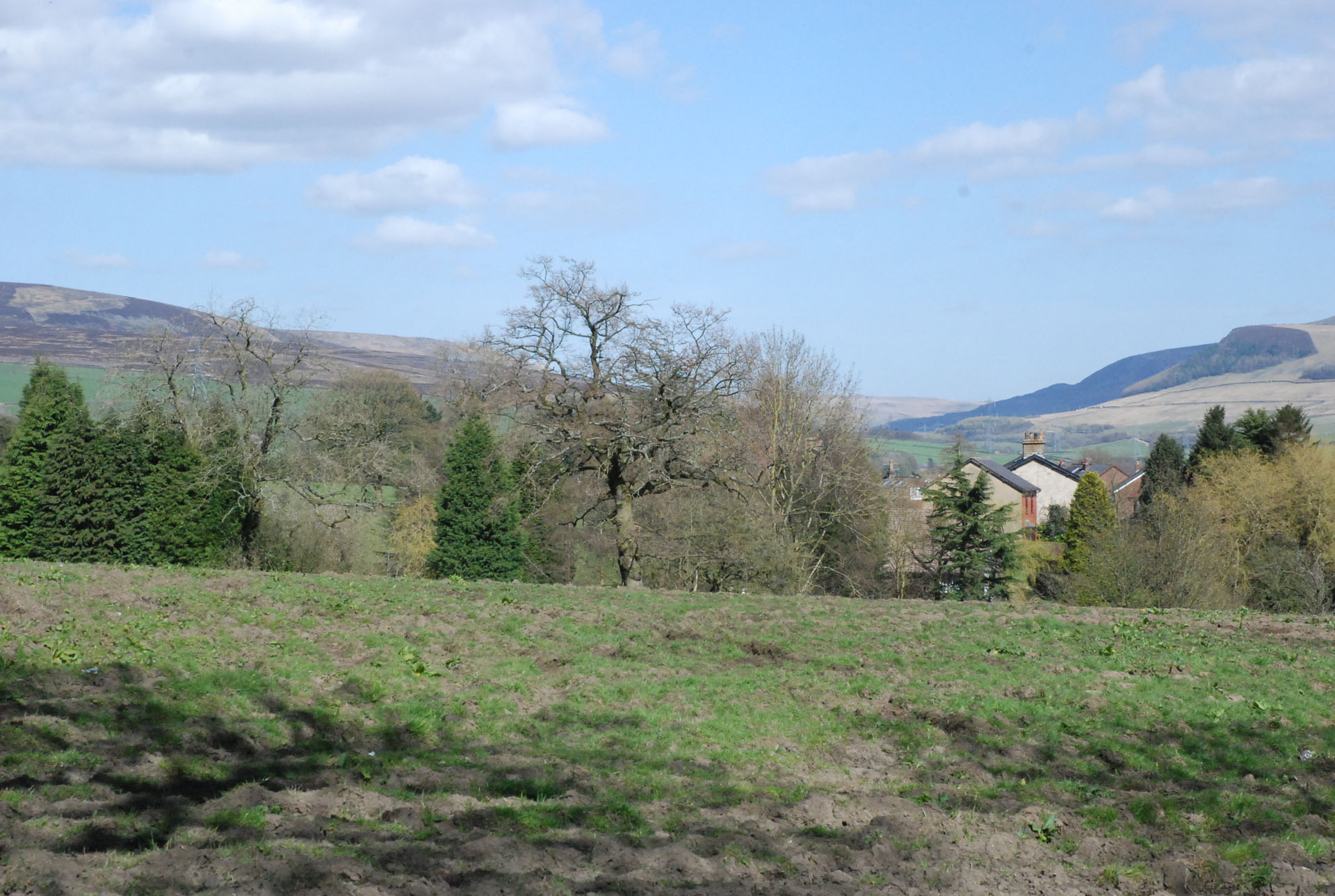
These 2 photos show how Mottram village could double in size, if housing is built on the land within the “purple patches” featured on Greater Manchester’s housing plan map.
Picture on the right shows field above Roe Cross, as seen from Dewsnap Lane, looking towards Edge Lane.